Portfolio
Selected work.
Every project is different. Here is how we have helped clients capture, measure, and understand their buildings.
Digital Capture Video Drawings
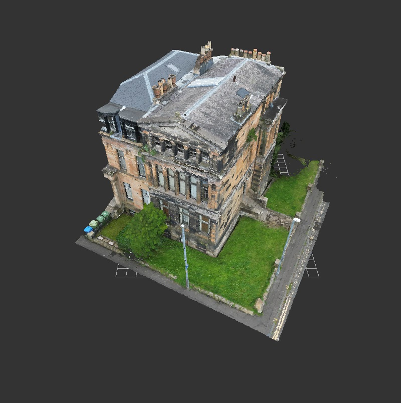
Victorian Townhouse, Glasgow West End — Measured Building Survey
Laser-scanned measured building survey of a four-storey Victorian villa in Hillhead, now divided into flats — floor plans, three elevations, three sections, roof and site plans at 1:50, drawn from the point cloud and issued in DWG and PDF within two weeks of the site visit.
Digital Capture Video
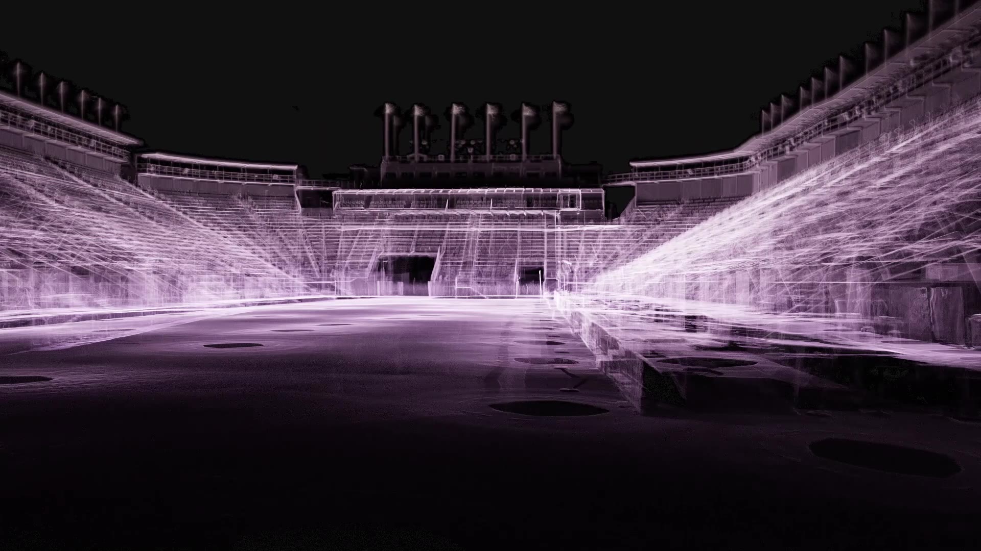
Royal Edinburgh Military Tattoo Arena — Matterport & Point Cloud Survey
Two-day reality capture of the Tattoo grandstands on Edinburgh Castle Esplanade — a navigable 3D model of the whole arena, registered point clouds in ReCap and E57, and fly-through videos — delivered to the project architects as the base for their design development.
Digital Capture
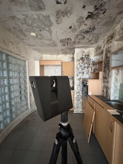
Fire-Damaged Building — Insurance Reinstatement Record
A 3D Matterport walk-around and LiDAR scan of a fire-damaged building for insurance purposes — a timestamped, measurable record of every room, fixture and finish, so reinstatement can be specified like-for-like from the data.
Digital Capture
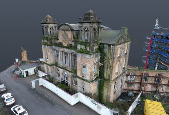
The Victoria, Battlefield — Drone LiDAR Survey
UAV LiDAR capture of the landmark former Victoria Infirmary building in Battlefield, on Glasgow's Southside — producing a complete point cloud and 3D mesh of a derelict structure that is unsafe to survey from inside.
Digital Capture
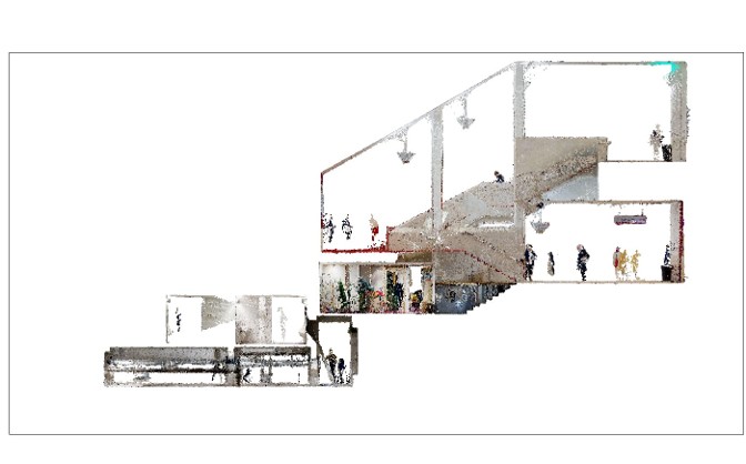
Glasgow Royal Concert Hall — Matterport Survey
Matterport and point cloud capture of one of Scotland's busiest performance venues, scanned for renovation works — the dataset fed Collective Architecture's Revit model of the building.
Digital Capture
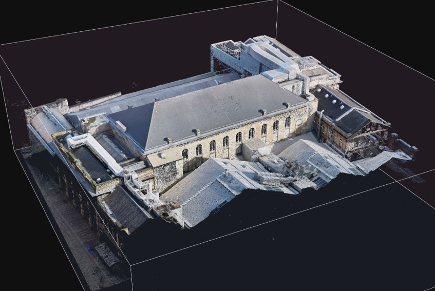
Glasgow City Halls — Drone Point Cloud Survey
UAV photogrammetric survey of the City Halls complex in Glasgow's Merchant City, capturing the roofscape, plant enclosures, and façades of one of the city's most historic venues as a georeferenced point cloud.
Building Performance
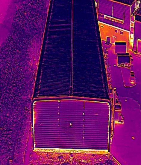
Glasgow Museums Resource Centre — Thermographic Energy Study
Drone thermographic survey of the Glasgow Museums Resource Centre, carried out alongside Collective Architecture as part of an energy study of the city's museum storage facility.
Building Performance
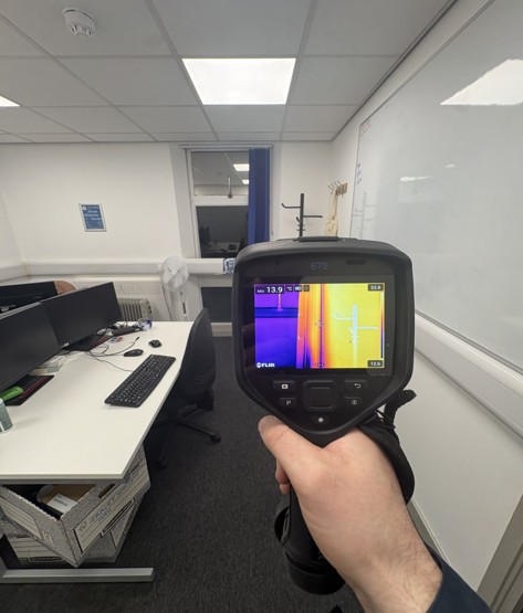
Bridgnorth Police Station — Thermographic Survey
Internal and aerial thermographic survey of a police station in Shropshire — handheld FLIR imaging room by room, drone thermal across the roof and elevations — locating heat loss across an operational public building.
Digital Capture
Creag Mhor Cottage — Matterport Survey for an EnerPHit Retrofit
Existing-condition Matterport capture of a Highland cottage in Onich ahead of an EnerPHit deep retrofit — giving the design team a measurable record of the building before conversion.
Digital Capture + Performance
Kirkgate Tower, Edinburgh — Energy Study for Edinburgh City Council
Combined Matterport capture, point cloud delivery, and thermographic survey of Kirkgate Tower for Edinburgh City Council — feeding volume calculations for energy modelling and giving the architect accurate data to design from.