3D Laser Scanning · Glasgow · Scotland · UK
3D laser scanning &
point cloud surveys.
Terrestrial, mobile and UAV LiDAR delivered as registered point clouds in your preferred format — and viewable, measurable and sectionable in your browser through the Kanna client portal. The foundation layer for measured drawings, scan-to-BIM and digital twins. Glasgow-based, on site across Scotland every week.
See the Data
What a registered point cloud looks like.
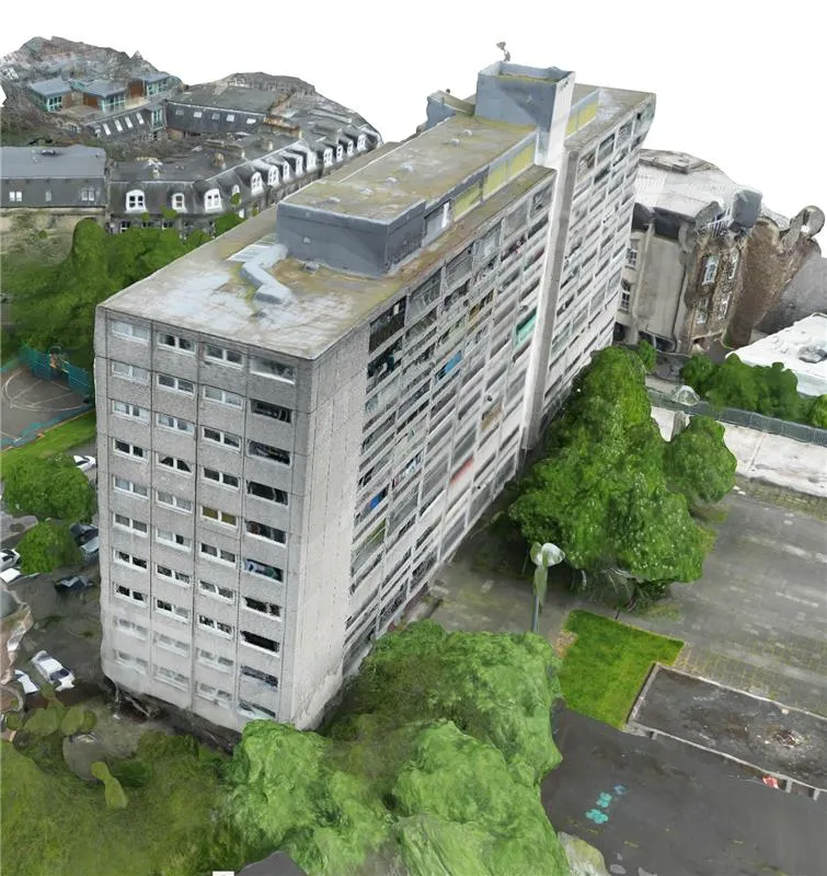
Fly-throughs rendered straight from our scan data — no modelling, no retouching. A Victorian townhouse in Glasgow captured with a Leica RTC360, coloured by height; and a warehouse in Ayrshire from above, coloured by RGB. Scanning in the city? See laser scan surveys in Glasgow. Every scan we deliver can also be opened and measured in your browser.
Read the full story of the townhouse survey: from scan to nine issued drawing sheets →
The Kanna Viewer
Explore a point cloud the way your clients will.
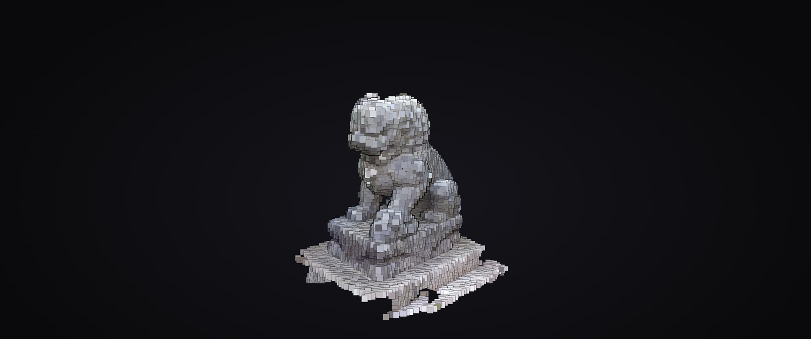
Every point cloud we deliver is hosted in the Kanna client portal and opens in the browser — orbit, measure, cut sections, share. Try the demo dataset here.
Capture Methods
Capture methods.
Terrestrial LiDAR
Tripod-mounted scanners for dense, high-accuracy data. Best for detailed interior and exterior capture.
Mobile SLAM
Handheld and wearable scanners for fast coverage of large or complex sites. Ideal when schedule matters.
UAV LiDAR
Drone-mounted LiDAR for rooftops, façades, and inaccessible structures. Combined with RGB for full context.
Deliverables
What you receive.
Everything you need to work with the data — and everything you need to verify its quality.
Use Cases
Where LiDAR earns its fee.
Extensions & refurbishment
Accurate existing conditions before design work starts. The single best insurance against on-site surprises and redesign fees.
Structural investigation
Deflection, lean, and deformation analysis from point cloud data — measurable evidence for engineers, not estimates.
Façade retention & temporary works
Accurate geometry of retained façades and adjacent structures for temporary works design and monitoring baselines.
M&E and services coordination
Capture plant rooms, risers, and ceiling voids exactly as installed — so new services route around reality, not drawings.
Heritage recording
Permanent millimetre-accurate records of listed and historic structures for conservation planning and HES/Historic England submissions.
As-built verification
Compare construction against design intent with cloud-to-model deviation analysis. Settle variations with evidence.
FAQ
Common questions.
Which method is right for my project? +
Which coordinate systems do you support? +
How big are point cloud files? +
Can you scan occupied buildings? +
Related Services
Explore more of what we do.
Measured Building Surveys
CAD floor plans, elevations and sections of existing buildings
Learn more →Scan-to-BIM
LiDAR point clouds converted to Revit models at LOD 200–400
Learn more →Matterport Surveys
3D virtual tours, floor plans, and point clouds from one visit
Learn more →Drone Surveys
CAA-authorised aerial photogrammetry and thermography
Learn more →Building Performance
Airtightness testing, thermal imaging, and U-values
Learn more →Digital Twins
Navigable 3D replicas of buildings and sites
Learn more →Film, TV & Games
Set, location, and asset scanning for production pipelines
Learn more →Ready to scan your site?
Send us a sketch or address and the required accuracy. We'll recommend the right capture method and send a fixed-price quote.