About
About Kanna.
Kanna Spatial is a reality capture studio, founded on a simple observation: the people who scan buildings and the people who design them don't usually share a language. We do both. One team, one dataset, one coherent record of your building.
The Story
Why Kanna exists.
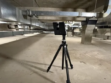
Kanna was started by a Chartered Architectural Technologist (MCIAT) to do one thing properly: capture existing buildings as accurate, usable data for the people designing and building on them. Not a traditional survey practice — a reality capture studio that speaks the design team's language, bringing scanning and building performance testing under one roof. One team, one dataset, one point of contact.
The name Kanna is Old Norse — to measure, to explore, to survey.
Meet the Founder
Founder-led, by design.
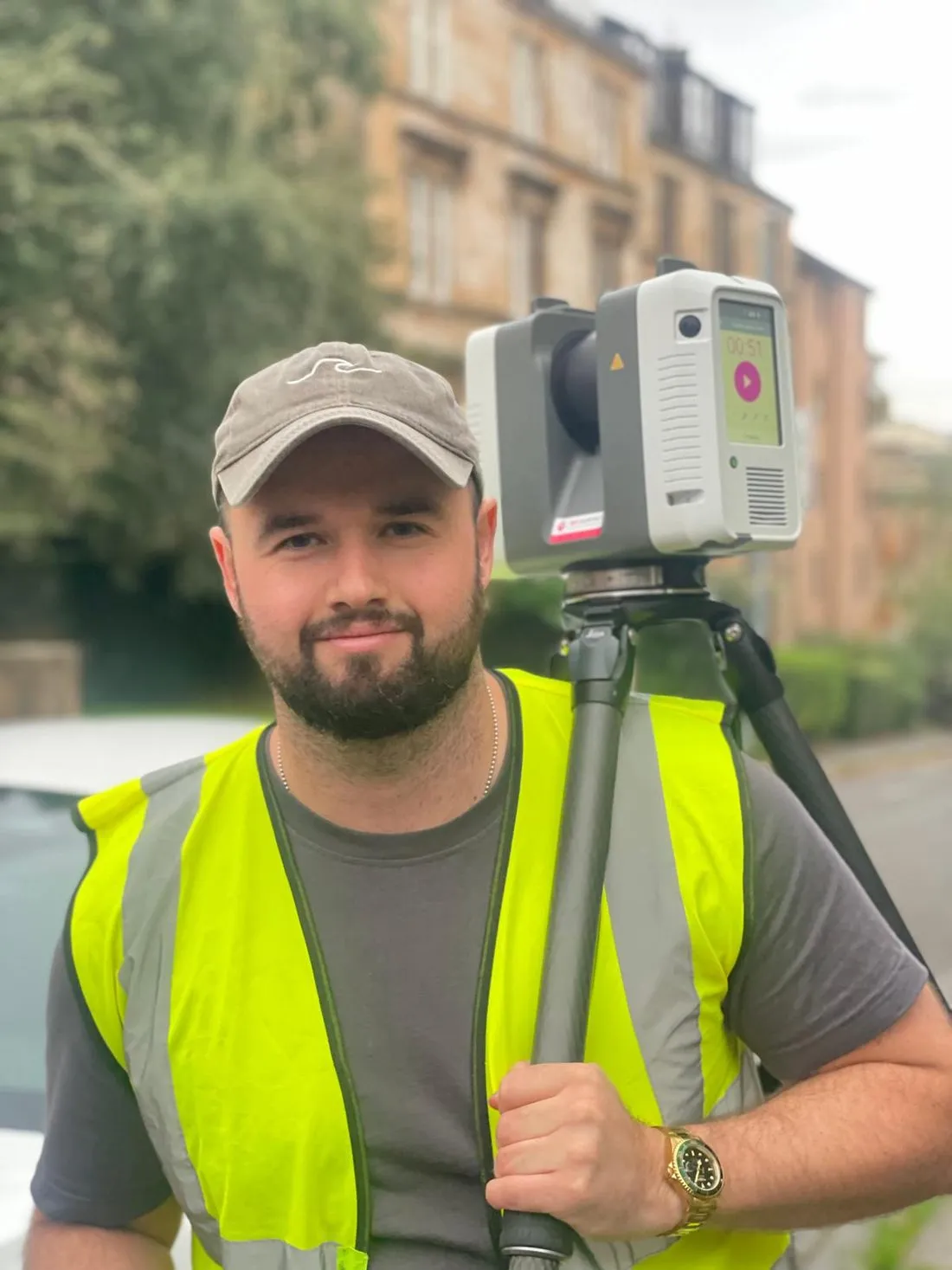
I'm Connor Milton, a Chartered Architectural Technologist and the founder of Kanna Spatial.
Before starting the company, I spent over ten years in architectural practice working across BIM, survey data and digital design tools. Time and again, I saw projects run into the same problem: existing drawings that didn't match the existing building. It costs time, money and trust — and it's avoidable.
I founded Kanna Spatial in 2026 to give project teams a better starting point. Using LiDAR scanning, Matterport digital twins, drone and thermal surveys, and airtightness testing, we capture buildings as they actually are, and deliver the drawings, models and data design teams need, in the formats they need them.
The person who prices your project is the person on site, and the person reviewing every deliverable. It keeps the work accurate, the communication direct, and the standards consistent — from first site visit to final issue.
Connor Milton MCIAT Founder, Kanna Spatial · Glasgow
Credentials
Qualifications & certifications.
Chartered Architectural Technologist
CIAT, 2022
Licensed Drone Operator
Operational Authorisation
Matterport Pro 3 Operator
Certified
Terrestrial + Mobile SLAM
Leica / Faro equipped
Airtightness Testing
BS EN ISO 9972
ISO 19650 Aligned
Revit, AutoCAD, ReCap
How We Work
Our values.
Accuracy
We measure twice. The data is only useful if it's right.
Clarity
No jargon for the sake of it. We explain what the data means, not just what it says.
Integration
Capture and performance together — because buildings don't exist in silos, and neither should their surveys.
AI & Automation
Tools we've built for the industry.
Alongside survey work, we build software for the people who use it: custom pyRevit tools and BIM automation that take the repetitive work out of Revit workflows, and AI-assisted tooling for building performance analysis. If your practice has a workflow that needs automating, ask us.
U-Value.com — our AI-powered U-value calculator that reads construction drawings and returns BR 443 / BS EN ISO 6946 compliant results. Built for architects, technologists, and energy assessors.
Open U-Value.comWant to work together?
Whether you have a full brief or a one-line question, get in touch.