Digital Capture
Royal Edinburgh Military Tattoo Arena — Matterport & Point Cloud Survey
Watch the Data
The Site
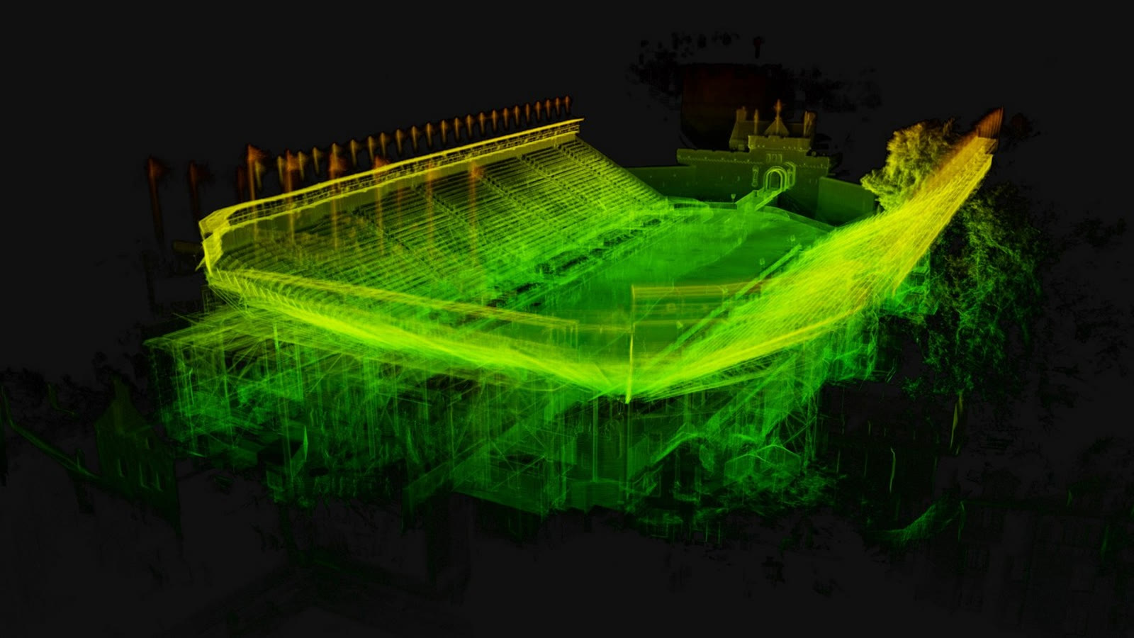
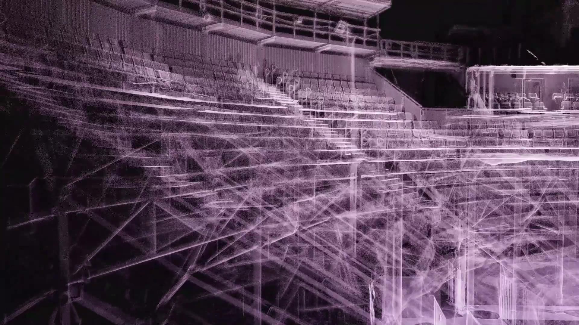
Every summer a temporary arena is built on the Esplanade of Edinburgh Castle for the Royal Edinburgh Military Tattoo: two long side stands, an East Stand closing the arena at the Castlehill end, and the performance area on the esplanade with the castle gatehouse as its backdrop. The stands are multi-tier scaffold-and-deck structures with tiered seating, flag masts, lighting and sound rigs, stair towers, and enclosed accommodation and plant beneath the decks.
Because the arena is demountable, there is no permanent record of it. The project architects needed one: a navigable 3D record of the 2026 arena as built that the team could walk through remotely, measure in and share with other stakeholders, plus point cloud data of the stands and esplanade as context for indicative layouts and design development.
What We Did
We captured the site over two days at the end of the 2026 season with the arena fully erected, using a Matterport Pro3. Scan positions were taken at regular intervals across the esplanade surface, along each seating tier, on the stand walkways and gantries, and through the rear and under-deck areas where access was available — more than 400 positions in all.
The capture was processed as two models: the full site (esplanade, both side stands, East Stand exterior and decks, castle frontage) and a closer-interval model of the East Stand’s internal areas and stair core. Each was registered, exported to point cloud, and rendered into the fly-through videos on this page using NUBIGON.
The Deliverables
- Two navigable 3D models of the arena, viewable in any browser without software or a login
- Registered point clouds of both models as Autodesk ReCap projects, ready to link into Revit, and as raw E57 files (54 GB) for Navisworks, AutoCAD, CloudCompare and other software
- Point cloud fly-through videos for client presentations, stakeholder briefings and media
- A survey report recording how the site was captured, what was delivered, the accuracy of the data and how to bring the point clouds into Revit
Why It Matters
A structure that is taken down every autumn can now be measured in March. Questions about seat counts, deck levels, sightlines, stair positions and the space under the stands are answered from a desk rather than by waiting for the next build. The honest caveat we give every client applies here too: Matterport data is indicative — ideal for layouts, massing, context and coordination — and where a design needs control-grade accuracy we survey with terrestrial LiDAR registered to site control, as on our laser scanning projects.
Have a similar project?
Let's discuss how we can help capture or assess your building.